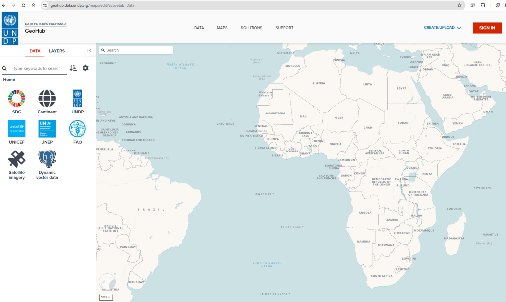
GeoHub
UNDP GeoHub is an open-source, centralized platform that provides geospatial tools and data to help policymakers and staff make informed decisions and drive progress on the SDGs.
Geospatial Work at UNDP
The UNDP Information and Technology Management (BMS/ITM) GIS Team provides Satellite Imagery and Geospatial Analysis Services to support UNDP Country Offices, Regional Hubs, and HQ.
Utilizing geospatial technologies is crucial for timely decision-making regarding resource allocation and activity prioritization. This service is increasingly used to perform complex analyses, monitor projects, evaluate impacts, and communicate results visually.
Geospatial Analysis and Remote Sensing combine effectiveness and efficiency, especially when operating in remote or insecure areas. These innovative solutions enhance, scale, and improve decision-making for UNDP and its counterparts.