Climate risk and vulnerabilities of Comoros
Comoros is highly vulnerable to climate change and multi-hazard risks because it is a small island developing state with volcanic islands, steep watersheds, narrow coastal zones, high dependence on rainfed agriculture and fisheries, fragile freshwater systems, limited land area, and high exposure to sea-level rise, storm surge, coastal flooding, cyclones, extreme rainfall, landslides, volcanic hazards, earthquakes, tsunamis, drought, water scarcity, and marine ecosystem decline. The World Bank identifies Comoros’ main climate risks as sea-level rise, storm surge, coastal flooding, increased temperatures, extreme precipitation, and potential decline of marine ecosystems. (Climate Change Knowledge Portal)
Comoros is highly exposed and vulnerable to climate change and multi-hazard risks due to its small volcanic island geography, narrow coastal zones, steep watersheds, fragile freshwater systems, dependence on rainfed agriculture and fisheries, limited land area, and high exposure to coastal and extreme-weather hazards. The country faces major risks from tropical cyclones, storm surge, coastal flooding, sea-level rise, coastal erosion, saltwater intrusion, extreme rainfall, flash floods, landslides, drought, water scarcity, volcanic eruptions, earthquakes, tsunamis, coral reef degradation, agricultural losses, fisheries decline, and climate-sensitive disease outbreaks. Climate change is expected to intensify these vulnerabilities through rising temperatures, more dangerous heat and humidity, more frequent extreme precipitation, delayed rainy-season onset, drier dry seasons, coastal inundation, freshwater stress, marine ecosystem decline, and growing pressure on food security, water security, public health, infrastructure, livelihoods, and vulnerable island communities. Strengthening multi-hazard early warning systems, impact-based forecasting, coastal protection, climate-resilient water systems, climate-smart agriculture, fisheries resilience, ecosystem-based adaptation, volcanic and tsunami preparedness, disaster risk financing, and locally led island adaptation is essential to reduce losses and protect Comoros’ development gains.

1. Multi-hazard exposure
Comoros faces a wide range of hydrometeorological, coastal, geological, and public-health hazards. These include floods, cyclones, storm surge, sea-level rise, coastal erosion, drought, water scarcity, landslides, volcanic eruptions, earthquakes, tsunamis, cholera, dengue, and chikungunya. UNDP notes that Comoros is highly vulnerable to natural disasters including floods, cyclones, volcanic eruptions, earthquakes, and tsunamis, and that 17 natural disasters over two decades caused 148 deaths and affected more than 400,000 people. (UNDP Adaptation)
The country’s exposure is intensified by its island geography. The Comorian archipelago is composed of volcanic islands with coastlines often protected by coral reefs, while settlement, roads, ports, public services, agriculture, and tourism assets are concentrated close to the sea. The World Bank profile notes that Grande Comore is home to about half the population, Anjouan about two-fifths, and Mohéli less than one-tenth, with Moroni as the largest urban centre. (Climate Change Knowledge Portal)
2. Climate change as a development risk multiplier
Climate change is a major development risk for Comoros because it threatens water supply, agriculture, fisheries, coastal infrastructure, ecosystems, health, and poverty reduction. The 2025 Comoros Country Climate and Development Report highlights that climate change could have significant implications across development sectors and calls for investments in resilient agriculture and fisheries, climate-resilient infrastructure, water-supply security, and renewable energy. (PreventionWeb)
The World Bank climate profile projects that Comoros will experience higher temperatures under all scenarios. Under SSP3-7.0, mean temperature rises from 25.31°C in 1995–2014 to 26.39°C by 2040–2059; hot days above 30°C are projected to rise to 23 days annually by mid-century and 100 days annually by 2080–2099, while tropical nights may increase from about 38 per year historically to 120 by mid-century and 223 by late century. (Climate Change Knowledge Portal)
3. Coastal vulnerability, sea-level rise, and storm surge
Coastal risk is one of Comoros’ most critical vulnerabilities. Sea-level rise, storm surge, coastal flooding, coastal erosion, saltwater intrusion, and coral reef degradation threaten coastal settlements, roads, ports, schools, health facilities, water systems, fishing livelihoods, tourism assets, and cultural sites. The World Bank states that rising temperatures and sea levels, combined with cyclones and extreme precipitation, will increase sea-level surges and coastal inundation risk. (Climate Change Knowledge Portal)
The country’s narrow coastal zones leave limited space for safe settlement expansion or relocation. This is especially important because no land in Comoros is far from the coast: UNDP notes that the country has a land area of only 2,612 km² and no land farther than 7 km from the coast. (UNDP Adaptation)
4. Cyclone, extreme rainfall, flood, and landslide vulnerability
Comoros is exposed to intense rainfall, storms, cyclones, flash floods, riverine flooding, and landslides. The tropical rainy season from December to April is associated with storms and cyclones, while the dry season from May to November brings lower rainfall and cooler conditions. (Climate Change Knowledge Portal)
Climate projections indicate that extreme precipitation risk is increasing. The World Bank projects that extreme precipitation events with historical 100-year return periods could occur 74% more frequently by mid-century under SSP3-7.0. (Climate Change Knowledge Portal) This matters because steep volcanic slopes and short watersheds can convert heavy rainfall into rapid runoff, flash flooding, landslides, road washouts, drainage failure, and coastal sedimentation.
Cyclone Kenneth in 2019 demonstrated how cyclone impacts can damage coastal settlements, homes, roads, fisheries, and public infrastructure. Future tropical cyclones are expected to gain intensity, while heavy rainfall and floods are expected to become more intense during the hot season. (UNDP Adaptation)
5. Drought, water scarcity, and freshwater vulnerability
Water security is a central climate vulnerability in Comoros. UNDP reports that around 80% of the rural population relies on rainfed agriculture, and climate change may reduce dry-season rainfall by up to 47% by 2090, while wet-season rainfall and cyclone severity may increase. (UNDP Adaptation)
Freshwater availability varies across the islands. Grande Comore has no surface water, so coastal towns rely on marginally fresh groundwater, while upland rural communities depend heavily on rainwater harvesting. On Anjouan and Mohéli, there are no proven groundwater resources, leaving communities reliant on seasonally variable streams. (UNDP Adaptation) This creates high exposure to drought, dry-season water shortages, contamination after floods, saltwater intrusion, and infrastructure failure.
6. Agriculture, fisheries, and livelihood vulnerability
Agriculture and fisheries are highly climate-sensitive. Comoros’ economy is largely based on subsistence agriculture and fishing, with crops including cassava, sweet potatoes, bananas, mountain rice, vanilla, ylang-ylang, coconuts, coffee, cloves, and cacao. The country also imports much of its food supply, making food security sensitive to climate shocks and external market disruption. (Climate Change Knowledge Portal)
Key agricultural and livelihood risks include:
| Sub-sector | Main climate and hazard risks |
|---|---|
| Rainfed food crops | Drought, delayed rainy season, extreme rainfall, soil erosion, pests, crop failure |
| Cash crops | Cyclone wind damage, rainfall variability, heat stress, landslides, market disruption |
| Livestock | Heat stress, water scarcity, feed shortages, disease risk |
| Small-scale fisheries | Cyclones, rough seas, coral reef decline, storm damage, marine ecosystem stress |
| Coastal livelihoods | Coastal erosion, storm surge, flooding, infrastructure damage |
| Food security | Import dependence, crop losses, fisheries decline, price shocks |
The 2025 CCDR recommends improving the productivity and resilience of agriculture and fisheries to support livelihoods and food security under uncertain future climate conditions. (PreventionWeb)
7. Marine ecosystems, coral reefs, and biodiversity vulnerability
Comoros’ coral reefs, mangroves, coastal vegetation, beaches, and marine ecosystems provide shoreline protection, fisheries habitat, biodiversity, tourism value, and local livelihoods. These ecosystems are vulnerable to ocean warming, acidification, coral bleaching, storm damage, coastal erosion, sedimentation, pollution, and overuse.
The World Bank identifies potential decline of marine ecosystems as one of Comoros’ main climate risks. (Climate Change Knowledge Portal) Ecosystem degradation is especially dangerous for small islands because reefs and coastal ecosystems act as natural protective infrastructure against waves, storm surge, and coastal erosion.
8. Volcanic, seismic, and tsunami risk
Comoros also faces important geological hazards. The islands are volcanic in origin, and UNDP identifies volcanic eruptions, earthquakes, and tsunamis among the country’s major natural disaster risks. The largest disaster recorded in the past two decades was a volcanic eruption in 2005, which affected 245,000 people. (UNDP Adaptation)
These risks matter because earthquakes and volcanic activity can damage housing, roads, water systems, health facilities, ports, and power networks, while tsunamis can severely affect low-lying coastal settlements with limited evacuation space.
9. Health and social vulnerability
Climate change can increase public-health risks through heat stress, unsafe water, diarrhoeal disease, cholera, dengue, chikungunya, malnutrition, flood-related injuries, and disrupted health services. UNDP identifies cholera, dengue, and chikungunya as epidemic risks relevant to Comoros’ disaster-risk context. (UNDP Adaptation)
The most vulnerable groups include smallholder farmers, fishing communities, coastal households, women-headed households, children, older persons, people with disabilities, poor rural households, low-income urban residents, and communities living in flood-prone, landslide-prone, water-scarce, volcanic, or coastal-risk areas. Vulnerability is highest where hazard exposure overlaps with poverty, weak housing, limited savings, limited insurance, fragile water supply, weak roads, and limited access to early warning and recovery finance.
10. Sector-specific vulnerability summary
| Sector | Main climate and multi-hazard risks |
|---|---|
| Water resources | Dry-season water scarcity, groundwater stress, stream variability, saltwater intrusion, flood contamination |
| Agriculture and food security | Drought, rainfall variability, cyclones, soil erosion, crop losses, import dependence |
| Fisheries and marine ecosystems | Rough seas, coral reef decline, marine warming, storm damage, reduced fish habitat |
| Coastal settlements | Sea-level rise, storm surge, coastal flooding, erosion, infrastructure exposure |
| Transport and infrastructure | Road washouts, landslides, cyclone damage, coastal road exposure, port disruption |
| Health | Heat stress, cholera, dengue, chikungunya, diarrhoeal disease, malnutrition |
| Tourism and ecosystems | Coastal erosion, reef degradation, cyclone damage, biodiversity loss |
| Disaster governance | Need for stronger risk data, early warning, local preparedness, and resilient public investment |
11. Priority resilience needs
Comoros’ resilience agenda should prioritize multi-hazard early warning systems, cyclone and flood forecasting, coastal inundation warning, drought monitoring, water-resource management, groundwater protection, rainwater harvesting, resilient water infrastructure, climate-resilient agriculture, fisheries resilience, coastal ecosystem restoration, coral reef and mangrove protection, volcanic and tsunami preparedness, disaster risk financing, and locally led adaptation.
| Priority area | Key actions |
|---|---|
| Early warning and anticipatory action | Impact-based warnings for cyclones, floods, landslides, drought, heat, coastal inundation, volcanic and tsunami hazards |
| Water security | Rainwater harvesting, groundwater monitoring, stream-flow management, watershed restoration, flood- and drought-resilient water systems |
| Coastal resilience | Coastal-risk mapping, erosion monitoring, mangrove and reef protection, setback planning, resilient coastal infrastructure |
| Climate-resilient agriculture | Drought- and cyclone-resilient crops, agro-climate advisories, soil conservation, crop diversification |
| Fisheries and ecosystem resilience | Reef and mangrove restoration, sustainable fisheries management, safe harbour support, marine monitoring |
| Infrastructure resilience | Climate-resilient roads, drainage, schools, health facilities, ports, water systems, and power infrastructure |
| Geological risk preparedness | Volcanic monitoring, tsunami evacuation planning, earthquake-safe construction, public drills |
| Risk governance and financing | Local disaster committees, climate-risk data systems, contingency finance, resilient recovery planning |
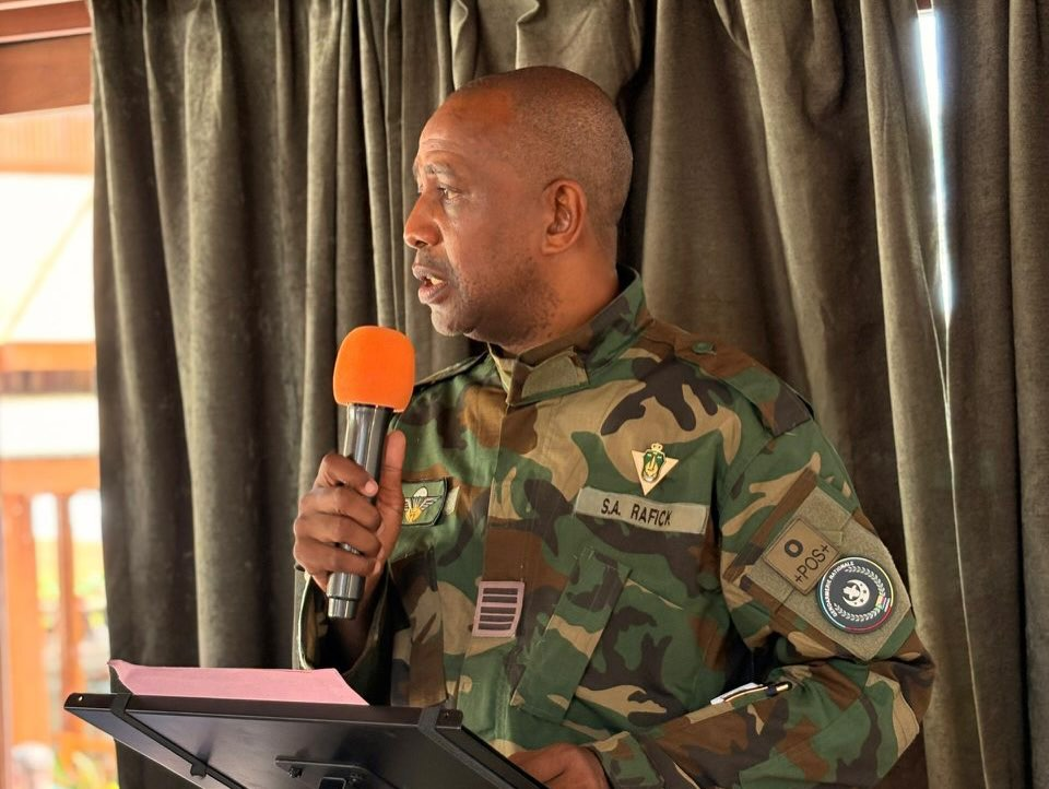
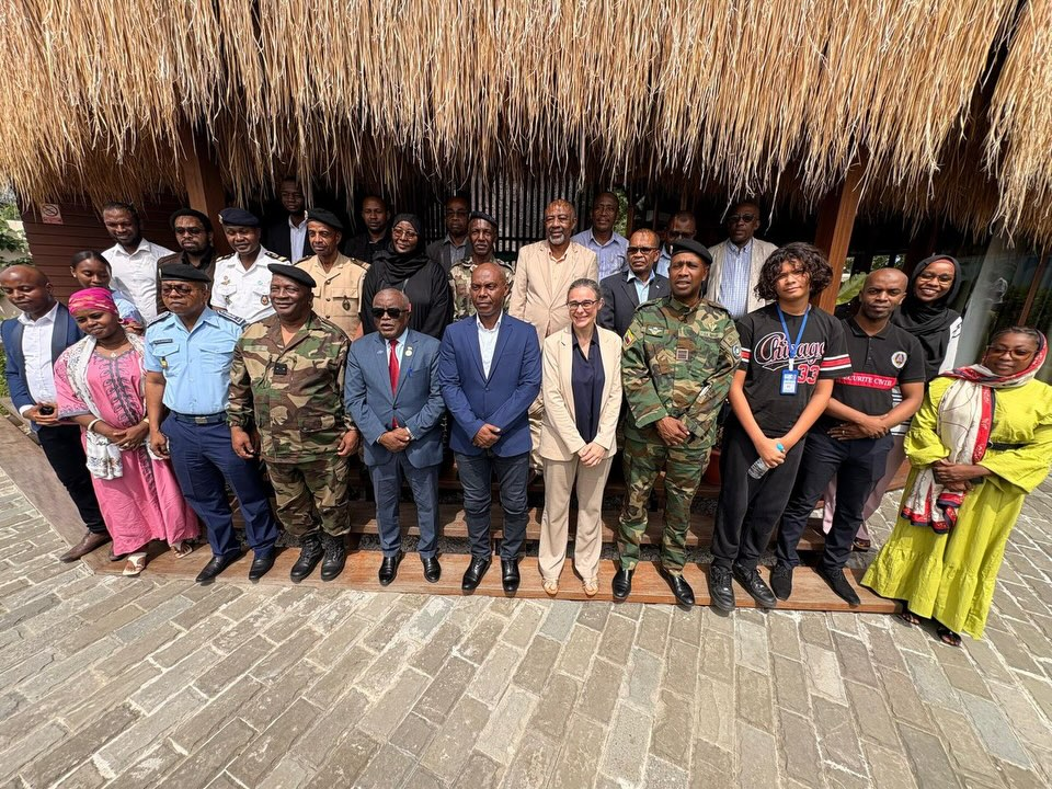
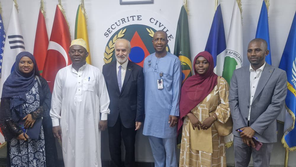
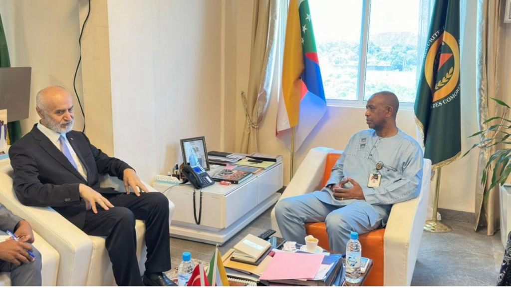
Direction Générale de la Sécurité Civile – Comores/ Directorate Civil Security
The Directorate General of Civil Security (DGSC) is responsible, among other things, for disaster risk management and ensuring optimal protection of people, property and the environment.
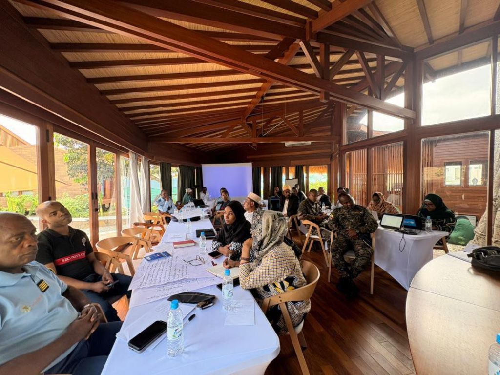


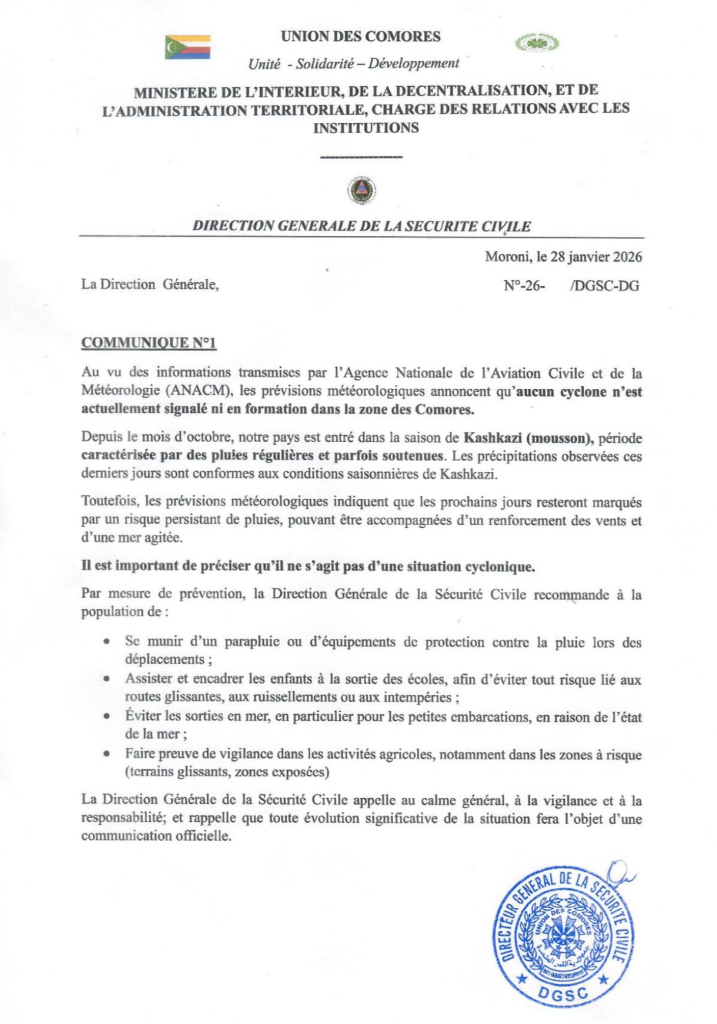
The most common natural disasters in Comoros are floods, cyclones, rising waters and tsunamis. Additionally, the activity of the Karthala volcano also represents a source of risk and vulnerability for the country. The government has made efforts to address Comoro’s vulnerability.
Download Comoros Documents from Google Drive
https://drive.google.com/drive/folders/1Ct_OnIq93bnnFoDU-6PwD5NgxyKcOqcm?usp=sharing