Climate risk and vulnerabilities of Burundi
Burundi is highly exposed and vulnerable to climate change and multi-hazard risks due to its steep hilly terrain, high population density, land degradation, rainfed agriculture, poverty, fragile infrastructure, and settlement expansion in hazard-prone areas. The country faces recurrent risks from floods, landslides, droughts, storms, strong winds, soil erosion, epidemics, earthquakes, water stress, and climate-related displacement. Climate change is expected to intensify these vulnerabilities through rising temperatures, erratic rainfall, more intense heavy rainfall, longer dry spells, more severe floods and droughts, declining soil and water security, and growing pressure on agriculture, health, infrastructure, ecosystems, and vulnerable communities. Strengthening multi-hazard early warning systems, impact-based forecasting, flood and landslide risk reduction, drought monitoring, climate-smart agriculture, watershed restoration, resilient infrastructure, disaster risk financing, shock-responsive social protection, and locally led adaptation is essential to reduce losses and protect Burundi’s development gains.
Burundi is highly vulnerable to climate change and multi-hazard risks due to its hilly and mountainous terrain, high population density, land degradation, dependence on rainfed agriculture, fragile rural livelihoods, limited infrastructure, and exposure to floods, landslides, droughts, storms, strong winds, epidemics, earthquakes, soil erosion, and water stress. The World Bank describes Burundi as densely populated, with an estimated population of about 14 million, population density of about 442 people per km², and around 85% of the population employed in agriculture, making climate shocks highly consequential for livelihoods and food security. (World Bank)

1. Multi-hazard exposure
Burundi’s main hazards include floods, droughts, landslides, storms, strong winds, forest fires, epidemics, and earthquakes. CADRI identifies Burundi as prone to drought, floods, storms, landslides, forest fires, epidemics, and earthquakes, with northern and central provinces particularly exposed to persistent drought, while plains are prone to frequent flooding. (cadri.net)
Burundi’s National Adaptation Programme of Action identifies climate-related hazards such as flash flooding and river-system changes. UNDP also notes that torrential rains, droughts, floods, epidemics, landslides, and strong winds are increasingly disrupting community life in Burundi. (adaptation-undp.org)
2. Climate change as a risk multiplier
Climate change is increasing Burundi’s exposure to both too much water and too little water. UNEP-GRID notes that intensification of dry and wet seasons has already resulted in more severe droughts and floods, and projects that mean annual temperature could increase by about 1.5°C to 2.5°C by 2050, with rainfall increases linked more to high-intensity rainfall events than to more rainy days. (dicf.unepgrid.ch)
This creates a compound risk pattern: heavier rainfall increases flash floods, landslides, erosion, riverbank instability, and infrastructure damage, while longer dry spells and drought reduce agricultural production, water availability, livestock productivity, and household food security. Burundi’s Third National Communication notes that many areas are expected to face both extreme dry and wet conditions, forcing the country to cope with floods and droughts, both of which can lead to water stress. (UNFCCC)
3. Flood, landslide, and Lake Tanganyika vulnerability
Floods and landslides are among Burundi’s most damaging and recurrent hazards. UNICEF reports that floods usually affect larger river basins, including the Congo and Lake Tanganyika areas, while flash floods can affect any region of Burundi; landslides are also a major concern in steep and densely settled landscapes. (UNICEF)
Lake Tanganyika and surrounding low-lying areas are especially vulnerable. IOM reports that persistent heavy rain, floods, landslides, and strong winds have raised Lake Tanganyika to dangerous levels, engulfing roads, markets, and settlements. UNICEF’s 2024 situation report stated that provinces along Lake Tanganyika, including Bujumbura Rural, Bujumbura Mairie, and Rumonge, were among the hardest hit by floods and landslides during the El Niño-influenced rainy season. (Storyteller)
4. Drought, agriculture, and food-security vulnerability
Drought is a major risk, especially in the north-eastern, northern, and central parts of Burundi. UNICEF notes that the most drought-vulnerable areas are in the north-east, where water stress and crop failures can push households to migrate. CADRI similarly highlights northern and central provinces as being at particular risk from persistent drought. (UNICEF)
Agriculture is highly climate-sensitive because most households depend on rainfed farming, small plots, and natural resources. Drought, irregular rainfall, crop pests, soil erosion, and flood damage can directly reduce food production, household income, nutrition, and rural resilience. The 2015–2016 El Niño-induced drought affected more than 1.6 million people in Burundi and destroyed more than 25,000 hectares of crops, according to an Adaptation Fund concept note. (Adaptation Fund)
5. Land degradation, soil erosion, and watershed vulnerability
Land degradation is one of Burundi’s central climate-risk drivers. The country’s steep cultivated hillsides, deforestation, population pressure, fragile soils, and unsustainable land-use practices increase runoff, erosion, landslide risk, sedimentation, and declining agricultural productivity. The World Bank identifies climate change, land degradation, and fragility as interconnected challenges in Burundi, with climate-related hazards—especially floods and landslides—already contributing to internal displacement and disproportionately affecting vulnerable groups. (World Bank)
Watershed degradation also increases flood intensity, reduces water quality, damages roads and bridges, and undermines irrigation, hydropower, agriculture, and settlement safety. This makes catchment restoration, terracing, agroforestry, slope stabilization, and soil-water conservation essential adaptation priorities.
6. Sector-specific vulnerability summary
| Sector | Main climate and multi-hazard risks |
|---|---|
| Agriculture and food security | Drought, erratic rainfall, floods, landslides, soil erosion, crop failure, pests, reduced yields |
| Water resources | Drought stress, flood contamination, reduced water quality, sedimentation, river instability |
| Settlements and housing | Flooding, landslides, strong winds, erosion, displacement, poor drainage |
| Transport infrastructure | Road washouts, bridge damage, landslide blockage, ravine erosion, access disruption |
| Health | Epidemics, waterborne diseases, flood-related sanitation risks, malnutrition, heat stress |
| Lake Tanganyika communities | Lake-level rise, flooding, shoreline erosion, displacement, loss of farmland and assets |
| Ecosystems and land resources | Deforestation, soil erosion, land degradation, biodiversity pressure, watershed decline |
| Public finance and recovery | Recurrent disaster-response costs, infrastructure rehabilitation, livelihood recovery needs |
7. Social vulnerability
Burundi’s social vulnerability is high because climate hazards interact with poverty, fragility, limited infrastructure, high dependence on agriculture, and population pressure. The World Bank reports that about 41% of Burundians are highly exposed to conflict and multiple climate hazards, including floods, landslides, and droughts, particularly in western and northwestern regions. (World Bank Blogs)
The most vulnerable groups include smallholder farmers, landless households, women-headed households, children, older persons, people with disabilities, internally displaced people, refugees, informal urban settlers, and communities living on steep slopes, riverbanks, floodplains, degraded hillsides, and Lake Tanganyika shorelines. Climate hazards are already a major driver of internal displacement in Burundi, especially floods and landslides. (World Bank)
8. Priority resilience needs
Burundi’s resilience agenda should prioritize multi-hazard early warning systems, impact-based forecasting, flood and landslide risk mapping, drought monitoring, watershed restoration, slope stabilization, terracing, climate-smart agriculture, resilient water systems, risk-informed land-use planning, resilient rural roads, urban drainage, disaster risk financing, and shock-responsive social protection.
A practical resilience package for Burundi should include:
| Priority area | Key actions |
|---|---|
| Early warning and anticipatory action | Flood, landslide, drought, storm, strong-wind, and epidemic warnings with last-mile communication |
| Flood and landslide management | Hazard mapping, slope stabilization, drainage improvement, ravine control, riverbank protection |
| Climate-smart agriculture | Drought-tolerant crops, agroforestry, terracing, soil conservation, climate advisories, crop diversification |
| Watershed restoration | Reforestation, catchment management, erosion control, wetland protection, spring and water-source protection |
| Lake Tanganyika resilience | Flood-risk zoning, shoreline protection, planned relocation where needed, resilient livelihoods |
| Infrastructure resilience | Climate-resilient roads, bridges, schools, health facilities, drainage, and water systems |
| Social protection | Scalable cash transfers, livelihood recovery, protection for displaced households and climate-affected farmers |
| Risk governance and financing | Local risk planning, contingency funds, climate budget integration, disaster risk financing instruments |
The General Directorate of Civil Protection and Disaster Management celebrated, on Friday, March 7, 2025, in Bujumbura, under the high patronage of the Ministry of the Interior, Community Development and Public Security, World Civil Protection Day, 2025 Edition, under the theme “Civil Protection, Guarantee of Security for the Population”.

On that occasion, the Director General of Civil Protection and Disaster Management, Roger Ndikumana, indicated that the celebration of the day aims to contribute to the development of States’ own systems, to ensure assistance to populations, their protection, the safeguarding of their property and the environment with regard to natural and man-made disasters.
He also said that on February 19, 2009, Burundi became an effective member of the International Civil Defense Organization (ICDO), and that this day began to be celebrated under various themes in Burundi on March 1 of the same year.
Ndikumana announced that during the past year, several achievements have been made in the field of risk management and prevention against natural disasters, including the implementation of the multi-risk cartography map, which is planned to be taught to the population so that they know how to use it. He also said that different neighborhoods of the city of Bujumbura were supplied with drinking water, and that during the same year, the population affected by floods in Gatumba was rescued and moved to Mubimbi and Buganda in Cibitoke province.
He noted that among the risks managed are also fire accidents. Regarding flood risks, Ndikumana advised victims who are still in flooded areas to leave them and go to places that the State has reserved for them, but also to stop practicing agricultural work in those risk areas until further notice.
Ndikumana also pointed out that the areas on the coast of Lake Tanganyika are the most flood-prone. He deplored the behavior of some people who return to live in those areas after being displaced, while reminding them that they should follow the advice received to no longer face the same risks.
Regarding the challenges, Ndikumana indicated that the civil protection sector is facing the lack of sufficient technical engineering equipment such as loader shovels, fire trucks with longer ladders, to intervene in the event of fires in multi-story houses, as well as tankers for the supply of drinking water to neighborhoods that do not have it.
He also pointed out that this sector needs materials for the management and prevention of risks that may arise in industries related to chemical, biological, nuclear and radiological products. Ndikumana revealed that these materials have been ordered.
Ndikumana recommended that the population work in collaboration with different sectors such as urban planning and construction, consult contingency plans to learn about the management of risks and natural disasters.
The International Organization for Migration (IOM) and partners are coming together to take stock of a project launched in 2020 to minimize disaster risks in Burundi. IOM and partners will discuss best practices and lessons learnt to inform similar projects in the future.
The project dubbed “TUBEHONEZA: Strengthening Resilience to Natural Disaster Risks in Burundi” was implemented by IOM in close collaboration with the Government of the Republic of Burundi through Burundi’s National Platform for Risk Prevention and Disaster Management.
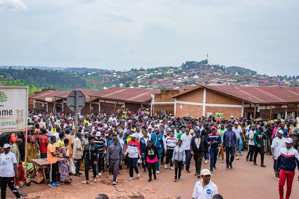
Burundi is among twenty countries most vulnerable to climate change worldwide. Recurring disasters, combined with the country’s dependence on agricultural production and precarious spatial planning, often devastate the livelihoods of Burundians and cause the vast majority of internal displacements (almost 90% in May 2023, based on IOM Displacement Tracking Matrix data), thus negatively impacting Burundi’s development.
Consolidating the country’s Disaster Risk Management system through a global, multi-sectoral and community-based approach, therefore, was at the heart of the nation-wide project, aiming at preventing displacement and creating a foundation for sustainable development. This focus is in line with the second overarching objective of the Secretary General’s Action Agenda on Internal Displacement and contributing to the Sendai Framework for Disaster Risk Reduction 2015–2030 global targets.
Burundi now relies on a detailed multi-risk mapping covering five frequent hazards – flooding, earthquakes, torrential rains, strong winds and landslides – available via an innovative online platform and accessible to the general public. “It is a mapping the country has been waiting for a long time so that the authorities can take evidence-based decisions at national, provincial and communal levels.” Explains Julius Niyongabo, an expert from the Office of Geomatics Centralization of Burundi.
Building on those findings, Burundians can count on reinforced institutional mechanisms aimed at preparing for and responding to a disaster, including through coordination and awareness raising. Notably, 90 communes and 17 provinces have contingency plans freshly elaborated or updated, that were tested with simulation exercises. Because community members are the best placed to take urgent action and have a sustainable impact on their environment, 133 Communal Committees for Disaster Risk Reduction (CCDRR) – local teams of 13 people – are now trained and equipped to carry out disaster prevention and small-scale mitigation activities, and to respond to disasters in the 50 most-at-risk communes.
“I am 100% hopeful that the damage will be less severe in the next rainy season” shares Aline Nininahazwe, member of Rubomgo’s CCDRR, in Cibitoke province.
Large-scale risk mitigation activities have been completed at 11 sites identified based on vulnerability and risks assessment. The rehabilitation or construction of infrastructures, such as drainage canals, bridges or dams, involved local communities through Cash-for-Work programmes.
“I believe that my work to protect our community from floods and landslides is important. That is why I have been working with others in the hot sun to dig these trenches.” affirms Evelyne Mukantwari, Cash-for-Work participant.
“I would like IOM to develop a new disaster risk reduction project to ensure the long-term future of our achievements, said Police General Anicet Nibaruta, Director General of Civil Protection and Disaster Management and President of the National Platform for Risk Prevention and Disaster Management. He reiterated the Government’s determination to cement such interventions and take further action to tackle the existing challenges in Burundi.
This project was funded by the European Union.
For any information, please contact
Emmanuel Noel, Disaster Risk Reduction Programme Manager Reduction des Risques des Catstrophes at IOM Burundi enoel@iom.int