Climate risk and vulnerabilities of Papua New Guinea
Papua New Guinea is highly exposed and vulnerable to climate change and multi-hazard risks due to its location on the Pacific Ring of Fire, steep mountainous terrain, active volcanoes, dispersed island geography, long coastline, high rainfall variability, dependence on subsistence agriculture and fisheries, fragile ecosystems, and limited infrastructure connectivity in remote areas. The country faces recurrent and potentially severe risks from earthquakes, volcanic eruptions, tsunamis, cyclones, floods, landslides, coastal erosion, droughts, water scarcity, frost, coral bleaching, ocean acidification, and climate-sensitive health and food-security shocks. Climate change is expected to intensify these vulnerabilities through heavier rainfall, more frequent floods and landslides, stronger coastal impacts, sea-level rise, saltwater intrusion, drought stress during El Niño years, declining food and water security, and growing pressure on infrastructure, health, ecosystems, and vulnerable communities. Strengthening multi-hazard early warning systems, impact-based forecasting, landslide and flood risk reduction, tsunami and volcanic preparedness, climate-resilient agriculture, coastal adaptation, water security, resilient infrastructure, disaster risk financing, and locally led community preparedness is essential to reduce losses and protect Papua New Guinea’s development gains.
Papua New Guinea is highly exposed to climate and multi-hazard risks because of its location along the Pacific Ring of Fire, mountainous terrain, active volcanic systems, long coastline, dispersed island communities, tropical rainfall regime, high dependence on subsistence agriculture, fragile transport networks, and limited last-mile service access in remote areas. The country faces major risks from earthquakes, volcanic eruptions, tsunamis, cyclones, floods, landslides, coastal erosion, droughts, water scarcity, frost in highland areas, coral bleaching, ocean acidification, and climate-sensitive health and food-security shocks.

1. Multi-hazard exposure
Papua New Guinea’s hazard profile is one of the most complex in the Pacific. The National Disaster Centre identifies the country as prone to earthquakes, volcanic activity, tsunamis, cyclones, landslides, and flooding, all of which can cause widespread damage to infrastructure and communities. (Png National Disaste) GFDRR similarly notes that PNG is prone to earthquakes, volcanic eruptions, tsunamis, cyclones, river flooding, coastal erosion, landslides, droughts, and frost, and highlights particularly high landslide hazard and severe volcanic exposure.
The country’s risk is strongly conditioned by geography. Mountainous highlands are exposed to landslides, flash floods, earthquakes, road blockages, and isolation of communities. Coastal and island communities are exposed to tsunamis, coastal flooding, erosion, sea-level rise, cyclones, and saltwater intrusion. Volcanic areas face ashfall, lahars, pyroclastic flows, evacuation needs, water contamination, and air-traffic disruption. (Png National Disaste)
2. Climate change as a risk multiplier
Climate change is increasing the intensity and complexity of Papua New Guinea’s existing risks. Heavy rainfall can trigger floods and landslides, while El Niño conditions can generate drought, water scarcity, food insecurity, and agricultural stress. The National Disaster Centre notes that cyclones, El Niño, and La Niña patterns can lead to severe droughts and flooding, disrupting agriculture and water supplies. (Png National Disaste)
Climate-risk analysis also identifies health, agriculture, transport and infrastructure as key adaptation focus areas, with disaster risk reduction explicitly linked to climate extremes, cyclones, floods, water security, food security, health, and human well-being.
3. Flood and landslide vulnerability
Floods and landslides are among Papua New Guinea’s most damaging recurrent hazards. Heavy rainfall, steep terrain, unstable slopes, deforestation, road cuts, seismic activity, and settlement in high-risk areas combine to create severe slope-failure risks. GFDRR notes that heavy rains often damage road infrastructure and livelihoods, while the National Disaster Centre states that landslides are frequently triggered by intense rainfall and mountainous terrain.
The 2024 Enga landslide showed the catastrophic potential of slope hazards in PNG. IMF reporting described the Enga landslide as a devastating event that claimed more than 2,000 lives and caused damages estimated at about US$130 million, underlining the macro-critical nature of disaster risk in the country. (IMF eLibrary)
4. Earthquake, tsunami, and volcanic vulnerability
Papua New Guinea’s position on the Pacific Ring of Fire makes earthquake, tsunami, and volcanic risk central to national disaster management. The National Disaster Centre reports that PNG experiences regular earthquakes and that the 2018 Highlands earthquake affected more than 3 million people and caused an estimated US$148 million in damages. (Png National Disaste)
Volcanic risk is also significant. The National Disaster Centre reports that approximately 17% of the population lives within 30 km of a volcano, with eruptions potentially causing ashfall, pyroclastic flows, lava flows, air-traffic disruption, health impacts, crop losses, and displacement. (Png National Disaste) Tsunami risk is especially important for coastal and island communities near tectonic plate boundaries, where submarine earthquakes can generate destructive waves with limited warning time. (Png National Disaste)
5. Coastal, island, and sea-level-rise vulnerability
Papua New Guinea’s coastal and island communities face rising risks from sea-level rise, coastal flooding, coastal erosion, king tides, saltwater intrusion, storm surge, reef degradation, and loss of coastal land. The National Disaster Centre also highlights coral bleaching and ocean acidification as indirect climate-related threats to marine biodiversity and coastal communities dependent on fishing. (Png National Disaste)
These risks are especially serious for low-lying islands, atolls, deltaic areas, and exposed coastal settlements where freshwater lenses, gardens, homes, schools, churches, health posts, and cultural sites are close to the shoreline. Sea-level rise and erosion can force relocation, disrupt customary land systems, reduce agricultural productivity, contaminate water sources, and weaken coastal livelihoods.
6. Agriculture, food security, and rural livelihoods
Food security is a core climate vulnerability in Papua New Guinea. UNDP notes that around 85% of the population relies on subsistence agriculture, making rural households highly sensitive to droughts, floods, landslides, crop disease, pests, frost, rainfall variability, and transport disruption. (Adaptation UNDP)
Climate shocks can damage food gardens, reduce sweet potato and taro production, affect cash crops such as coffee and cocoa, disrupt fishing livelihoods, damage rural roads, increase market prices, and reduce household nutrition. In highland areas, frost and drought can severely affect subsistence food systems, while in coastal and island areas, saltwater intrusion and storm impacts can damage gardens and freshwater supplies.
7. Infrastructure and connectivity vulnerability
Infrastructure vulnerability is one of PNG’s most important risk drivers. Roads, bridges, airstrips, jetties, power systems, schools, health facilities, water systems, and communications infrastructure are exposed to floods, landslides, earthquakes, volcanic ash, coastal erosion, and extreme rainfall. GFDRR notes that heavy rains have damaged road infrastructure and livelihoods, generating economic losses and requiring government spending for humanitarian aid and alternate road access.
Because many communities are remote and mountainous or island-based, infrastructure damage can quickly become a humanitarian access problem. Road blockage, bridge collapse, washed-out airstrips, or disrupted boat routes can delay emergency response, health care, food delivery, evacuation, and recovery.
8. Health and social vulnerability
Climate and disaster risks in Papua New Guinea have direct public-health consequences. Floods can contaminate drinking water and increase diarrhoeal disease risks. Drought can reduce safe water access and worsen nutrition. Heat and humidity can affect labour productivity and health. Volcanic ash can affect respiratory health and water quality. Disasters can also disrupt access to clinics, vaccination, maternal health services, and emergency care.
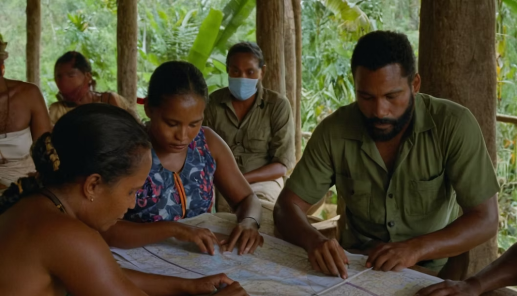
The most vulnerable groups include subsistence farmers, coastal and island communities, highland communities on unstable slopes, fishing communities, women-headed households, children, older persons, people with disabilities, remote rural communities, informal urban settlers, and communities living near active volcanoes, fault zones, floodplains, eroding coasts, or landslide-prone slopes.
Sector-specific vulnerability summary
| Sector | Main climate and multi-hazard risks |
|---|---|
| Agriculture and food security | Drought, floods, landslides, frost, pests, crop disease, transport disruption, food-garden damage |
| Fisheries and coastal livelihoods | Sea-level rise, reef degradation, ocean acidification, storm damage, saltwater intrusion |
| Water resources and WASH | Drought, flood contamination, saltwater intrusion, damaged water systems, reduced safe water access |
| Transport and connectivity | Landslides, road washouts, bridge collapse, coastal erosion, volcanic ash, earthquake damage |
| Settlements and housing | Flooding, landslides, tsunamis, cyclones, volcanic eruptions, coastal erosion |
| Health | Waterborne disease, malnutrition, respiratory impacts from ash, heat stress, disrupted health services |
| Ecosystems and biodiversity | Coral bleaching, ocean acidification, deforestation, land degradation, biodiversity loss |
| Public finance and recovery | Recurrent response costs, infrastructure rehabilitation, humanitarian access constraints |
Priority resilience needs
Papua New Guinea’s resilience agenda should prioritize multi-hazard early warning systems, impact-based forecasting, landslide and flood-risk mapping, earthquake and tsunami preparedness, volcanic monitoring, drought early warning, food-security surveillance, climate-resilient rural roads, coastal adaptation, ecosystem-based protection, water-security planning, resilient health and education infrastructure, disaster risk financing, and community-based preparedness.
A practical resilience package for Papua New Guinea should include:
| Priority area | Key actions |
|---|---|
| Early warning and anticipatory action | Impact-based warnings for floods, landslides, drought, cyclones, tsunamis, volcanic eruptions, and extreme rainfall |
| Flood and landslide risk reduction | Slope-risk mapping, drainage improvement, road stabilization, community evacuation planning |
| Geophysical risk preparedness | Earthquake-safe construction, tsunami evacuation routes, volcanic monitoring, ashfall preparedness |
| Coastal and island resilience | Coastal-risk mapping, mangrove and reef protection, saltwater-intrusion management, relocation planning where needed |
| Food and livelihood resilience | Climate-resilient crops, seed systems, food-garden protection, fisheries resilience, agro-climate advisories |
| Water security | Rainwater harvesting, protected wells, drought planning, flood-safe WASH systems, island freshwater protection |
| Infrastructure resilience | Climate- and hazard-resilient roads, bridges, schools, health facilities, jetties, airstrips, and communications |
| Risk governance and financing | Local disaster committees, provincial risk data systems, contingency finance, insurance options, resilient recovery planning |
Papua New Guinea National Disaster Center

The NDC is mandated by the Disaster Management Act of 1984 (revised 1987), Part III, Section 15 to manage disasters in the country. Dissemination of disaster alerts and awareness messages are key components in disaster management.
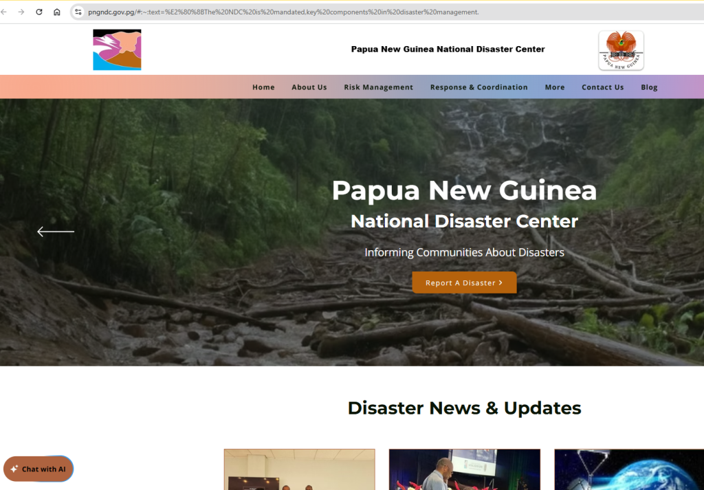
The National Disaster Centre (NDC) was established by an Act of Parliament, the Disaster Management Act of 1984, to manage both natural and human-induced disasters and emergencies in the country. The same Act also establishes the National Disaster Committee (ND Com), the higher decision-making body that is made up of key government department heads. The NDC is currently under the Ministry of Defense which makes the Secretary of the Department of Defense the Chairman of the ND Com who provides advice relating to disaster risk management across the country to the Minster for Defense. Given the geographically positioning of Papua New Guinea in the Pacific Ring of Fire that makes the country vulnerable to various natural hazards, the NDC plays a key role not only in managing disasters but provide disaster risk reduction mechanisms to ensure communities are safe, sustainable and resilient to any disaster event.
The NDC is headed by Director, who is appointed by the National Executive Council (NEC), and two (2) Assistant Directors for Risk Management and Community & Government Liaison Divisions respectively. The Risk Management Division is responsible for Disaster Risk Management and Reduction (DRM/DRR) activities and programmes. While the Community & Government Liaison Division is responsible for emergency operations center, response coordination and recovery measures as well as the NDC corporate affairs too.
Risk Management
The Risk Management division is the technical division of National Disaster Centre that is responsible for Disaster Risk Management and Disaster Risk Reduction activities and programmes. The division is also responsible for developing, planning and implementing disaster risk reduction initiatives and actions to reduce the impacts of potential disasters in the country. The division takes care of and strategize on the proactive phase of the disaster management cycle which includes Prevention, Mitigation, and Preparedness stages.
Its core functions include research, training, education, awareness, information technology, vulnerability and risk assessments and hazard mapping. The division also plays a vital role in fostering partnerships and networking with all relevant government agencies, development partners, non-governmental organisations (NGO’s), faith-based organizations, civil society organisations and all other stakeholders in managing and coordinating disaster risk reduction activities in the country. The division is headed by an Assistant Director who oversees the implementation DRR plans and programmes. The Assistant Director reports to the Director of NDC.
The CGL Division is tasked to manage some core functions of the National Disaster Centre including;
- Organizing the National Disaster Committee Meetings,
- Managing and providing financial advice to the Director General as well as preparation of the annual recurrent budget and reviews,
- Managing and providing human resources advice to the Director General,
- Managing and maintaining 24-hours Operational Center,
- Maintaining an effective communication system,
- Providing logistics advice and support to Provincial Disaster Offices,
- Conducting damage needs assessments and compiling damage reports to the Director General,
- Assisting with the preparation of evacuation plans,
- Coordinating stakeholders, partners and government responses to disasters and emergencies,
- External and internal stakeholder liaison including contacts with the media,
- Assisting with early recovery efforts in coordination with partners and stakeholders
Some Documents on PNG
Please download the relevant documents
https://drive.google.com/drive/folders/12tBnfXn6zWkKhG1pD_oI1p357B1EAI0Q?usp=drive_link