Climate risk and vulnerabilities of Solomon Islands
Solomon Islands is highly exposed and vulnerable to climate change and multi-hazard risks due to its dispersed archipelagic geography, low-lying coastal and atoll communities, steep volcanic islands, active tectonic setting, high rainfall variability, dependence on agriculture and fisheries, fragile freshwater systems, and limited transport and service connectivity. The country faces major risks from tropical cyclones, extreme rainfall, floods, flash floods, landslides, coastal erosion, sea-level rise, storm surge, saltwater intrusion, drought, earthquakes, tsunamis, volcanic hazards, coral bleaching, fisheries decline, and climate-sensitive health impacts. Climate change is expected to intensify these vulnerabilities through rising temperatures, more extreme rainfall, more intense cyclone-related rainfall, sea-level rise, coastal inundation, freshwater contamination, ecosystem degradation, and increasing pressure on food security, water security, infrastructure, health, livelihoods, and vulnerable island communities. Strengthening multi-hazard early warning systems, impact-based forecasting, coastal protection, water security, climate-resilient agriculture, fisheries and reef resilience, tsunami and earthquake preparedness, resilient infrastructure, disaster risk financing, and locally led island adaptation is essential to reduce losses and protect Solomon Islands’ development gains.
Solomon Islands is highly vulnerable to climate change and multi-hazard risks because of its dispersed archipelagic geography, low-lying coastal and atoll communities, steep volcanic islands, high rainfall variability, dependence on subsistence agriculture and fisheries, limited infrastructure resilience, and exposure to both oceanic and geophysical hazards. The country faces major risks from tropical cyclones, floods, flash floods, coastal erosion, sea-level rise, storm surge, saltwater intrusion, drought, landslides, earthquakes, tsunamis, volcanic hazards, extreme rainfall, coral reef degradation, and climate-sensitive health risks. GFDRR identifies Solomon Islands as vulnerable to floods, tropical storms, earthquakes, tsunamis, volcanoes, droughts, and landslides.
The Solomon Islands ranks as the second most at-risk country to climate disasters globally, and ninth in overall exposure. As an archipelago of nearly 1,000 islands situated in the Pacific Ring of Fire and the cyclone belt, its risk profile is driven by a compounding mix of extreme hydrometeorological hazards, slow-onset climate changes, and significant socioeconomic vulnerabilities.
Economic and Sectoral Vulnerabilities
Climate impacts threaten to severely disrupt the national economy, which is heavily reliant on natural resources and climate-sensitive sectors:
Disaster Loss and Damage: The economic toll of climate and disaster risk is staggering. Modelling predicts that natural hazards and climate change will lead to an average direct loss of US$20.5 million annually (approximately 3% of GDP) for the next 50 years. Extreme events cause massive spikes in these figures; for example, the 2014 Guadalcanal flash floods caused total direct economic losses and damages equivalent to 9.2% of the country’s GDP.
Agriculture and Food Security: Approximately 70% of the workforce is employed in agriculture, largely in subsistence and cash crop farming. Unpredictable rainfall, increased temperatures, and saltwater intrusion are severely reducing crop yields (such as taro) and increasing pest prevalence.
Fisheries: Ocean acidification, rising sea surface temperatures, and coral bleaching present a severe ecological and economic risk. Tuna revenue alone accounts for 18% of the national GDP, and projections suggest a potential reduction in maximum fisheries catch potential of over 50%, threatening both dietary health and national income.
Institutional Capacity and Resilience Strategies
Fundamental social issues—such as high poverty rates, geographic remoteness, and limited infrastructure—remain significant drivers of disaster risk and hinder the implementation of comprehensive climate adaptation measures. However, several strategic approaches are being implemented to build resilience:
Multi-Hazard Early Warning Systems (MHEWS): Efforts are underway to strengthen climate and disaster risk information networks, including the installation of flood warning systems and the establishment of networks for seismic and volcanic hazards, ensuring communities can take swift action before disasters strike.
Nature-Based Solutions (NbS): To combat coastal erosion and build livelihood resilience, nature-based adaptation strategies are being deployed. These include mangrove replanting, coral reef restoration, and the introduction of climate-smart agricultural practices (like diversified cropping and improved storage) to support resilient households.
Local Government and Community Integration: The Solomon Islands National Adaptation Plan of Action (NAPA) prioritizes local-level capacity building. Projects are increasingly focusing on integrating Disaster Risk Reduction (DRR) and climate change adaptation directly into provincial and community-level planning, such as upgrading water supply systems, strengthening community shelters, and raising foundations for flood alleviation.
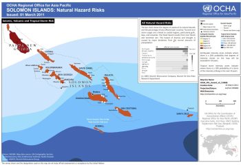
This map illustrates the Solomon Islands’s exposure to seismic, volcanic and tropical storm hazard.
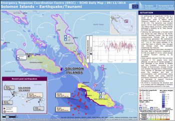
Solomon Islands – Earthquake/Tsunami – ECHO Daily Map | 09/12/2016
1. Multi-hazard exposure
Solomon Islands has a complex hazard profile combining hydrometeorological, coastal, geophysical, and ecosystem-related risks. The country consists of a double chain of six large islands and about 997 islands, with a total land area of about 28,785 km² and an Exclusive Economic Zone of about 1.34 million km². This geography makes national risk management difficult because communities are widely dispersed across high islands, low-lying coastal areas, artificial islands, and remote atolls.
Major hazards include cyclones, flooding, storm surge, sea-level rise, drought, landslides, earthquakes, tsunamis, volcanic activity, and coastal erosion. GFDRR reports that Solomon Islands is expected to incur an average of about US$20 million per year in losses from earthquakes and tropical cyclones; the 2007 earthquake and tsunami caused damage equivalent to about 80% of GDP, while the 2014 Guadalcanal flash floods caused losses equivalent to about 9% of GDP and displaced about 10,000 people.
Key Hazards and Exposure Profile
The physical geography of the Solomon Islands ensures that a vast majority of its population and infrastructure is highly exposed to natural hazards:
Sea-Level Rise and Coastal Erosion: Sea levels are rising at an average of 8 mm annually—significantly faster than the global average. With over 60% of the population living within one kilometer of the coast, submergence of low-lying islands and saltwater intrusion into freshwater aquifers are immediate threats.
Extreme Hydrometeorological Events: Tropical cyclones are projected to become less frequent but more intense. The islands are highly sensitive to the El Niño-Southern Oscillation (ENSO), which triggers unpredictable and severe rainfall patterns, leading to extensive inland and coastal flooding.
Geophysical Hazards: The islands’ location makes them highly prone to earthquakes, volcanic eruptions, tsunamis, and resulting landslides, which frequently intersect with climate-induced vulnerabilities to multiply disaster impacts.
2. Climate change as a risk multiplier
Climate change is increasing Solomon Islands’ exposure to both sudden-onset and slow-onset hazards. Climate projections indicate that annual mean temperatures and very hot daily temperatures will continue to rise; sea level will continue to rise; average rainfall is projected to increase in most areas; extreme rainfall events are expected to become more intense; and tropical cyclones may become less frequent but more intense. (DFAT)
Under a very high emissions scenario, sea level around Solomon Islands is projected to rise by about 16–35 cm by 2050 and 40–89 cm by 2090. These changes can intensify coastal flooding, shoreline erosion, saltwater intrusion, damage to roads and settlements, and pressure on freshwater lenses, gardens, fisheries, and coastal ecosystems. (DFAT)
3. Coastal vulnerability, sea-level rise, and saltwater intrusion
Coastal risk is one of Solomon Islands’ most critical vulnerabilities. Many communities, roads, schools, churches, health posts, markets, wharves, water sources, food gardens, and burial or cultural sites are located near the shoreline. Sea-level rise, storm surge, wave overtopping, high tides, and coastal erosion threaten these assets and can force temporary displacement, planned relocation, or loss of land and cultural identity.
The World Bank notes that Solomon Islands is vulnerable to sudden climate shocks such as tropical cyclones and flooding, as well as gradual climate-driven changes such as sea-level rise and saltwater intrusion. These changes interact with poverty and health conditions, worsening inequality, affecting livelihoods, and driving displacement, migration, and planned relocation. (World Bank)
4. Flood, extreme rainfall, and landslide vulnerability
Floods and flash floods are recurrent and damaging hazards, especially on larger high islands such as Guadalcanal, Malaita, Makira, Choiseul, Isabel, and New Georgia, where steep catchments and short river systems can produce rapid runoff after intense rainfall. Heavy rainfall can trigger river overflow, landslides, road washouts, bridge damage, water contamination, crop losses, and disruption of schools, clinics, markets, and transport.
Landslide risk is highest where steep volcanic terrain, intense rainfall, logging, road construction, slope cutting, and settlement expansion intersect. Flood and landslide impacts are especially severe in remote communities where damaged roads, bridges, wharves, or boat access can delay emergency response and recovery.
5. Earthquake, tsunami, and volcanic vulnerability
Solomon Islands lies in a tectonically active region of the Pacific and is exposed to earthquakes, tsunamis, and volcanic hazards. These hazards can produce sudden, high-impact disasters with limited warning time, especially for coastal communities. The 2007 earthquake and tsunami caused major losses, casualties, displacement, and damage to housing and infrastructure.
Tsunami risk is particularly important for low-lying coastal settlements and small islands where evacuation routes may be limited, public warning coverage may be uneven, and safe high ground may be difficult to access quickly. Volcanic hazards can also affect settlements, agriculture, water sources, transport, and air quality, depending on the island and event type.
6. Agriculture, fisheries, and food-security vulnerability
Agriculture and fisheries are central to food security, livelihoods, nutrition, culture, and local economies. The Solomon Islands NAPA identifies climate impacts on agriculture and food security, water supply and sanitation, human settlements, and human health as urgent adaptation concerns. (Adaptation UNDP)
Agriculture is exposed to cyclones, floods, drought, saltwater intrusion, coastal erosion, pests and diseases, higher temperatures, and heavy rainfall. Water supply is also highly climate-sensitive because communities rely on rivers, streams, springs, rainwater harvesting, groundwater, and small local systems; changes in rainfall can quickly affect water availability and quality.
Fisheries and marine ecosystems are also vulnerable. Solomon Islands has exceptionally rich coral reef and reef-fish biodiversity, while tuna and coastal fisheries are economically, nutritionally, and culturally important. Ocean warming, acidification, coral bleaching, storm damage, sedimentation, and reef degradation can reduce fisheries productivity and weaken natural coastal protection.
7. Water, sanitation, and health vulnerability
Freshwater security is a major concern, especially in low-lying islands, artificial islands, and remote coastal communities where water sources are limited and vulnerable to drought, saltwater intrusion, flooding, and contamination. Floods can damage water systems and sanitation facilities, while droughts can reduce rainwater storage and groundwater availability.
Climate-sensitive health risks include diarrhoeal disease, waterborne disease after floods, vector-borne disease, heat stress, malnutrition, injuries during cyclones and floods, and mental stress linked to displacement or land loss. Health-system vulnerability is higher where clinics are remote, transport links are fragile, or facilities are exposed to flooding, coastal erosion, or storms.
8. Sector-specific vulnerability summary
| Sector | Main climate and multi-hazard risks |
|---|---|
| Coastal settlements | Sea-level rise, coastal erosion, storm surge, wave overtopping, saltwater intrusion |
| Agriculture and food security | Cyclones, floods, drought, pests, crop loss, salinity, soil erosion, food garden damage |
| Fisheries and marine resources | Coral bleaching, ocean warming, acidification, storm damage, reef degradation |
| Water and sanitation | Drought, saltwater intrusion, flood contamination, damaged rainwater and groundwater systems |
| Transport and infrastructure | Road washouts, bridge damage, wharf damage, landslides, coastal asset exposure |
| Health | Waterborne disease, vector-borne disease, malnutrition, heat stress, disaster-related injuries |
| Education and public services | School damage, clinic disruption, transport isolation, communication constraints |
| Disaster governance | Need for stronger risk data, last-mile warnings, inclusive preparedness, and local response capacity |
9. Social vulnerability
The most vulnerable groups include remote island communities, low-lying coastal and atoll communities, subsistence farmers, fishing communities, women-headed households, children, older persons, people with disabilities, informal urban settlers, and households living in flood-prone, landslide-prone, tsunami-prone, or erosion-prone areas.
The World Bank reports that cyclones, flash floods, and other weather-related events have already forced about 26,000 people within Solomon Islands to relocate since 2008. Social capital, traditional leadership, kinship networks, and community connection to ancestral lands are therefore central to successful adaptation, relocation, and resilience planning. (World Bank)
10. Priority resilience needs
Solomon Islands’ resilience agenda should prioritize multi-hazard early warning systems, impact-based forecasting, cyclone and flood preparedness, tsunami and earthquake readiness, coastal-risk mapping, sea-level-rise monitoring, water-security planning, climate-resilient agriculture, fisheries resilience, ecosystem-based adaptation, resilient transport infrastructure, disaster risk financing, and locally led island adaptation.
UNDRR reports that Solomon Islands is strengthening early warning and early action systems under the Early Warnings for All initiative and Weather Ready Pacific, including risk data, forecasting, communication, preparedness, impact-based forecasting, and integration of traditional knowledge with modern science. (UNDRR)
| Priority area | Key actions |
|---|---|
| Early warning and anticipatory action | Impact-based warnings for cyclones, floods, landslides, tsunamis, earthquakes, drought, coastal flooding, and health risks |
| Coastal resilience | Shoreline monitoring, coastal-risk zoning, nature-based protection, mangrove and reef restoration, relocation planning where necessary |
| Water security | Rainwater harvesting, groundwater protection, salinity monitoring, drought planning, flood-safe WASH systems |
| Climate-resilient agriculture | Salt-, drought-, flood-, and cyclone-tolerant crops; agro-climate advisories; food-garden protection |
| Fisheries and reef resilience | Reef conservation, sustainable fisheries management, marine monitoring, safe harbours, livelihood diversification |
| Geophysical preparedness | Tsunami evacuation routes, earthquake-safe construction, volcanic monitoring, public drills |
| Infrastructure resilience | Climate-resilient roads, bridges, wharves, schools, health posts, water systems, and communications |
| Risk financing and recovery | Contingency finance, insurance options, forecast-based financing, resilient reconstruction, community recovery funds |
Solomon Islands National Disaster Management Office (NDMO)
The National Disaster Management Office (NDMO) is the primary government agency responsible for disaster risk management in the Solomon Islands. Operating under the Ministry of Environment, Climate Change, Disaster Management and Meteorology, it serves as the secretariat for the National Disaster Council (NDC).
Core Functions
- Coordination: Manages the National Emergency Operations Centre (NEOC) to coordinate responses to cyclones, earthquakes, and tsunamis.
- Relief Efforts: Oversees the deployment of food, supplies, and humanitarian assistance to remote provinces.
- Policy & Planning: Implements frameworks like the Disaster Risk Financing Strategy to increase national resilience.
Contact information
Tel +1 8769674626 , Fax: +1 8769675189
April 17, 2025
STRONG WIND WHAT TO DO INFORMATION
STRONG WIND WHAT TO DO INFORMATION Following the Strong Wind Warning Number Eight issued by the Solomon Islands Meteorological Services (SIMS) at 7:00 AM this Morning […]
April 17, 2025
HEAVY RAIN AND FLOOD WHAT TO DO INFORMATION
HEAVY RAIN AND FLOOD WHAT TO DO INFORMATION Following the Heavy Rain Warning Number Eight issued by the Solomon Islands Meteorological Services (SIMS) at 7:00 am […]
February 13, 2025
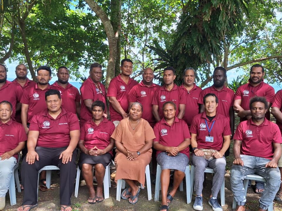
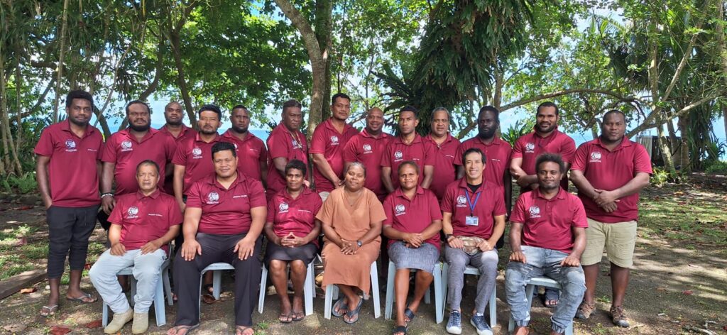
The National Disaster Management Office (NDMO) conducted its 2024 activity implementation reporting and 2025 activity planning workshop
The National Disaster Management Office (NDMO) conducted its 2024 activity implementation reporting and 2025 activity planning workshop The National Disaster Management Office (NDMO) is currently […]
December 13, 2024
SEASON GREETINGS
SEASON GREETINGS
April 25, 2024
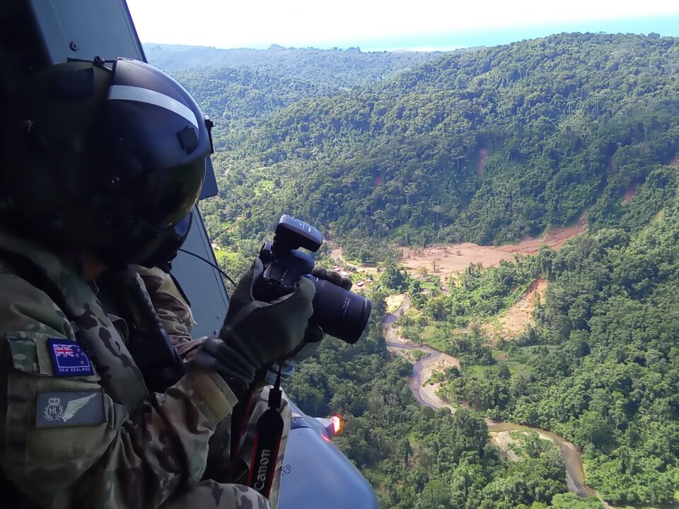
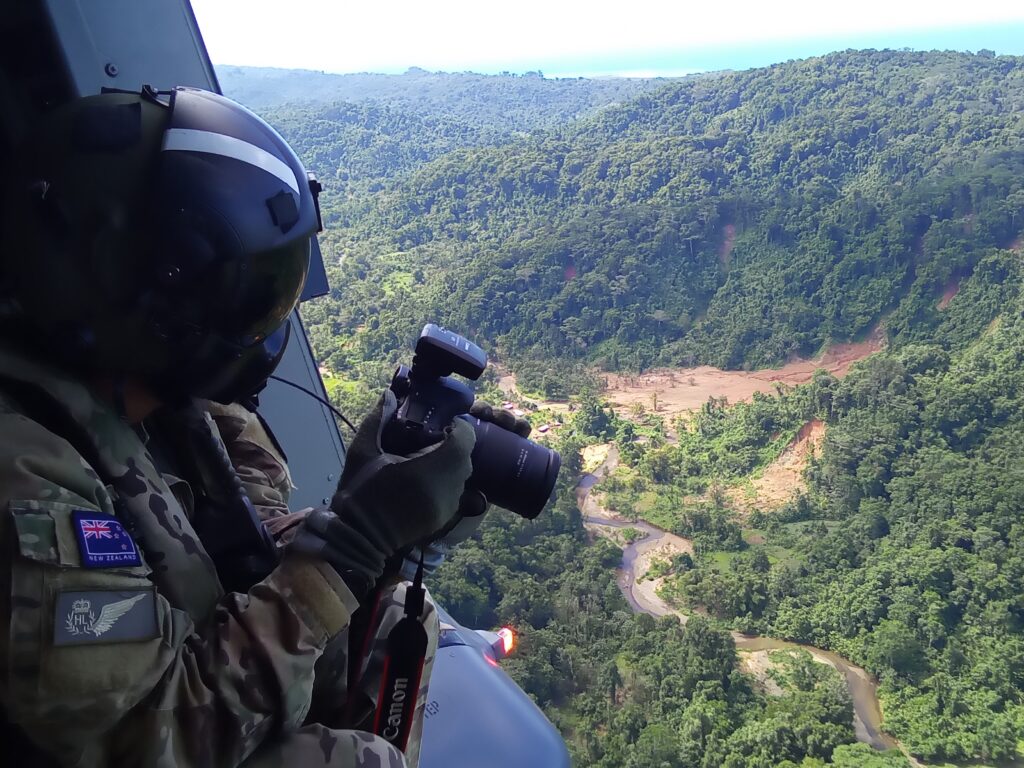
The National Disaster Management Office (NDMO) and Geological Survey Division (GSD) received timely assist from the New Zealand Defense Force (NZDF) to conduct landslide aerial survey in Isabel Province
The National Disaster Management Office (NDMO) and Geological Survey Division (GSD) received timely assist from the New Zealand Defense Force (NZDF) to conduct landslide aerial survey […]
April 11, 2024
The NDC through the NDMO has delivered food relief supplies on Ontong Java atolls over the Easter Weekend.
The NDC through the NDMO has delivered food relief supplies on Ontong Java atolls over the Easter Weekend. HONIARA, SOLOMON ISLANDS 9th APRIL 2024 – […]
April 9, 2024
Humanitarian Assistance and Disaster Response (HADR) successfully delivered to the Atoll Island of Sikaiana
Humanitarian Assistance and Disaster Response (HADR) successfully delivered to the Atoll Island of Sikaiana HONIARA, SOLOMON ISLANDS 9th APRIL 2024 – The Solomon Islands Government (SIG) […]
March 29, 2024
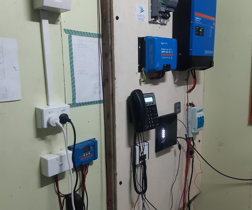
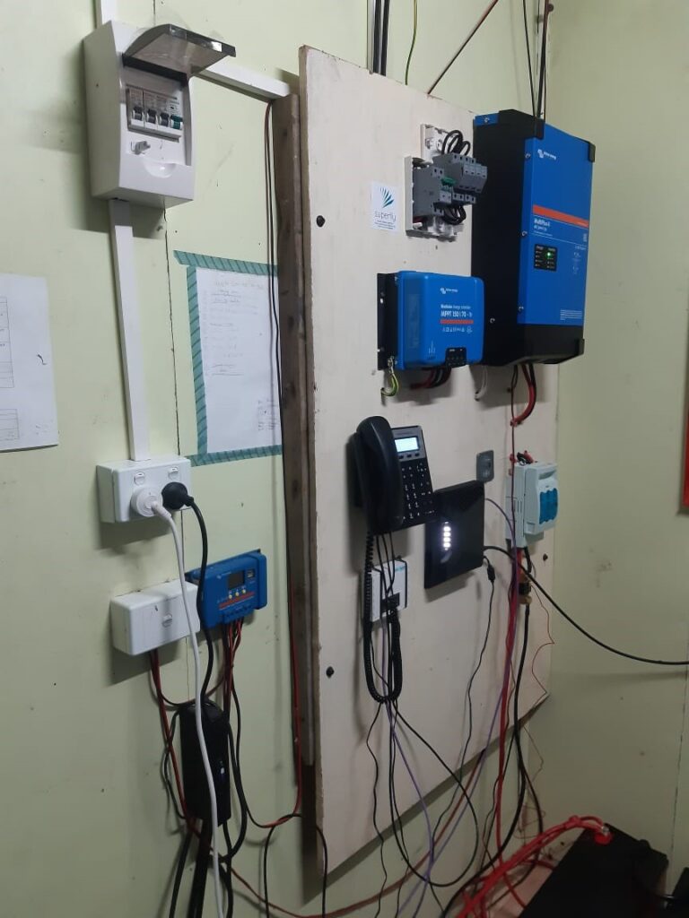
Sikaiana Island is now connected to the outside world
Sikaiana Island is now connected to the outside world People from Sikaiana residing and working outside of the Island will now be able to communicate […]
February 11, 2024
The Solomon Islands is still in its Tropical Cyclone Season – Heavy continuous rainfall and landslides poses risks to people and properties
The Solomon Islands is still in its Tropical Cyclone Season – Heavy continuous rainfall and landslides poses risks to people and properties The National Disaster […]
December 7, 2023
NATIONAL EMEGERNCY OPERATION CENTER (NEOC) ACTIVATED TO FULL-ON ACTIVATION MODE
NATIONAL EMEGERNCY OPERATION CENTER (NEOC) ACTIVATED TO FULL-ON ACTIVATION MODE HONIARA SOLOMON ISLANDS (6TH DECEMBER 2023) In the wake of the prevailing bad weather in the […]

May 2, 2023
NDMO Relief Boat to Set Sail on Wednesday
NDMO Relief Boat to Set Sail on Wednesday Following the impacts of the couple Tropical Cyclone Kevin and Judy, the Solomon Islands Government through the […]
April 17, 2023
RELIEF SUPPLIES FINALISED AND READY FOR SHIPMENT
RELIEF SUPPLIES FINALISED AND READY FOR SHIPMENT The National Disaster Management Office says relief operations for Tikopia, Anuta, Duff Island and Reef Islands in Temotu […]
March 22, 2023
Assessment reveals that traditional farming methods provides resilience on food security for Anuta Islanders
Assessment reveals that traditional farming methods provides resilience on food security for Anuta Islanders Assessment of the damages caused by the recent two tropical cyclones […]
March 20, 2023
Multi-Sectoral Assessment for Tikopia and Anuta completed
Multi-Sectoral Assessment for Tikopia and Anuta completed Initial Damage Assessment (IDA) following reported damages caused by the recent double Tropical Cyclones Judy and Kevin has […]
March 10, 2023
NDC and N-DOC Deploys Assessment Team to Support Temotu P-DOC
NDC and N-DOC Deploys Assessment Team to Support Temotu P-DOC In responding to the recent twin cyclones the National Disaster Council (NDC) and the National […]
Download documents :
Is there any Scope of work and partnership opportunity with NDMO??????
…………………………………………………………………………
Subject: Looking forward to the scope of work and partnership opportunity with NDMO, Solomon Islands
To,
The Director, NDMO
Dear Sir
Greetings from the Multi-Hazard Early Warning System Design and Implementation Center (MHEWC).
MHEWC provides technical solutions to strengthen Disaster Risk Management (DRM) governance systems, climate and multi-hazard risk management, and end-to-end early warning system design and implementation. We would be pleased to offer technical support to the Solomon Islands National Disaster Management Office (NDMO) in the following areas:
a) Upgrading NDMO ’s existing web portal into a geospatial, database-driven, and app-enabled Decision Support System (DSS) to support real-time disaster risk governance, planning, preparedness, response, and recovery management.
b) Conducting climate and multi-hazard risk and vulnerability assessments, including the preparation of geospatial hazard, exposure, vulnerability, and risk maps, and the establishment of a centralized risk information repository and database management system.
c) Assessing existing monitoring, observation, and early warning capacities and supporting NDMO in the installation, enhancement, and integration of observation networks, including Automated Weather Stations (AWS), hybrid weather and hazard monitoring systems, and sensor-ingested real-time data systems linked to a functional DSS.
d) Designing and operationalizing end-to-end multi-hazard early warning systems, including weather and hazard nowcasting services, impact-based forecasting, forecast-based anticipatory early action, forecast-based emergency preparedness and response management, forecast-based financing, Early Action Protocol development, and DSS-supported Standing Orders on Disaster and Standard Operating Procedures.
e) Supporting automated hazard detection, monitoring, prediction, and emergency operations management, including the design, implementation, and operationalization of a Multi-Hazard and Disaster Emergency Operations Center (EOC).
f) Developing GIS, database, and information tool-driven local government and productive sector-level risk-informed planning and budgeting systems to strengthen disaster risk reduction, climate change adaptation, nature-based solutions, locally led adaptation, and resilience planning.
g) Reviewing and upgrading multi-hazard preparedness, response, and recovery plans across administrative levels and relevant priority sectors, in alignment with NDMO’s institutional mandate and national disaster management priorities.
h) Providing any additional technical assistance as may be required by NDMO to strengthen national-to-last-mile disaster risk governance and early warning capacities.
We would welcome the opportunity to discuss NDMO’s priorities and explore how MHEWC can support the development of a practical implementation roadmap for strengthening multi-hazard early warning, risk information, and disaster risk governance systems.
We look forward to your kind response.
Sincerely,